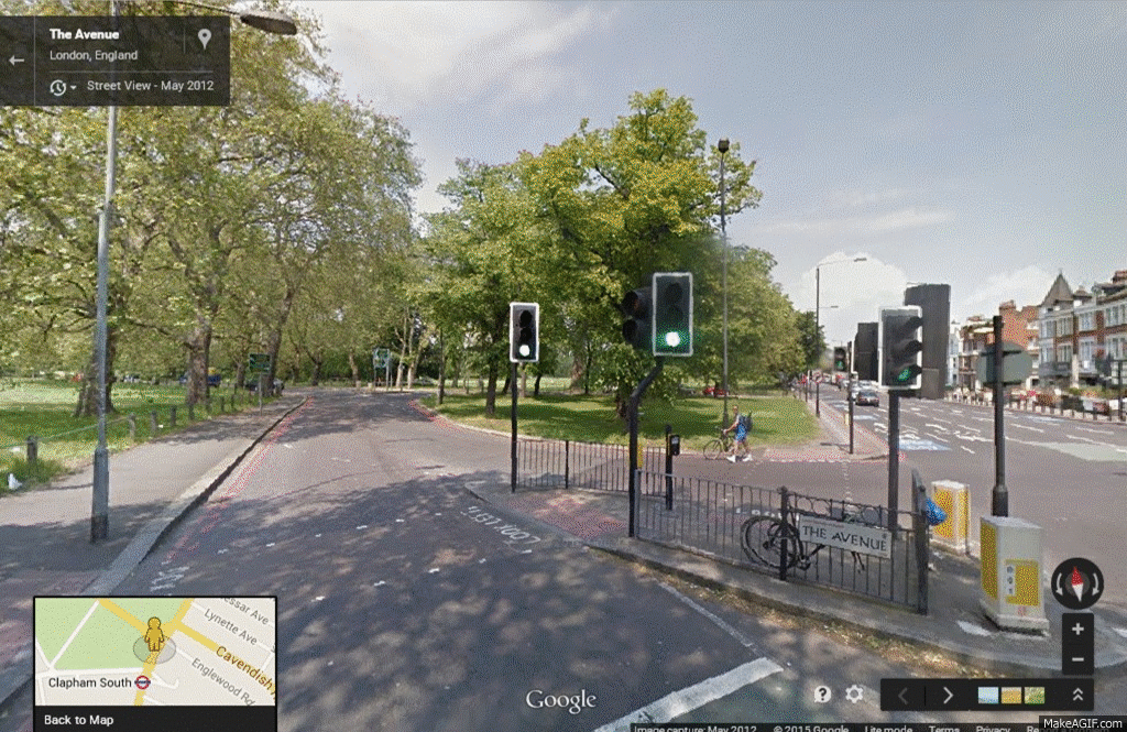
The only criticism I have read about the route alignment came from mikeybikey on the LCC website. He said: "'North-South' route doesn't even become such until section 2b [St George's Circus], with a big detour instead of going straight up London Road."
 |
| London Road is marked on the map above as the A201 |
Actually there is going to be a contraflow bus and cycle lane heading north up London Road, and a cycle lane heading south. It is the segregated route which incurs the "big detour".

I am curious to understand how this scheme is going to fit into the bigger picture. In order to do this, I am going to imagine that I am somewhere in south London, and that I wish to cross Blackfriars Bridge, not by car, but by bike. Whereabouts exactly am I?
The North-South Cycle Superhighway crosses CS7, so it is fair to assume that a lot of the cycle traffic which would use the new superhighway would have originated on CS7, as per the map on the left.

| 
|
However, a more direct route (shown in blue) would reduce the journey distance by 190 metres, and cutting the corner (route shown in yellow) would further reduce the journey distance by an additional 60 metres.
Further back along CS7, an alternative route becomes available.
  |
The map shows two routes from Clapham South up to Blackfriars Bridge. The journey distance for the blue-coloured route is 40 metres less than for the red-coloured route.
The blue-coloured route is very largely similar to LCN3; the red-coloured route shows the already functioning CS7. The blue-coloured route is worthy of further investment, because it links in well with other routes, and because mostly it is already safe and pleasant. If this route could be made fast and comfortable (no doubt for a fraction of the money that CS7 cost), there is every reason to suppose it would be well used.
The section of the north-south route on St. George's Road does not link in very well with CS7, but perhaps it is not really intended to do so. Perhaps the idea is that it should join up with the now-abandoned CS6, as shown in the map below left.


|
Except, actually, there is a more direct route available. The journey distance is 180 metres less using the blue-coloured route than using the red-coloured route.
As before, an alternative route is available for longer-distance journeys.

|
The map on the left shows two routes from East Dulwich up to Blackfriars Bridge. The journey distance for the blue-coloured route is 40 metres less than for the red-coloured route.
The blue-coloured route is very largely similar to LCN23; the red-coloured route shows the now-abandoned CS6. The blue-coloured route is worthy of further investment, because it links in well with other routes, and because mostly it is already safe and pleasant. If this route could be made fast and comfortable (no doubt for a fraction of the money that CS6 would have cost), there is every reason to suppose it would be well used.
* * *
A few years ago, TfL's Director of Integrated Programme Delivery, Ben Plowden, told a GLA committee hearing that the Cycle Superhighways have been a big success for commuters. But, he added, there are questions about how else to draw in people who are not in the demographic of 25-45 year-old males wishing to cycle into central London. Therefore, said he, it’s also worth thinking about the potential options for developing parallel routes, which would be quieter and probably more suitable for less confident, slower cyclists. And so he was going to look with the boroughs at identifying those routes which would complement the Cycle Superhighways, and deliver those.
Roelof Wittink, the Director of the Dutch Cycling Embassy, told the same committee hearing that in the Netherlands they ensure that there is a ‘disconnect’ between the main routes for cycling and the main routes for cars, so that there are fewer interactions between the two. Where those interactions are unavoidable, measures are taken to reduce the dangers.
We have already seen that for two routes, it is possible to create a disconnect between cycle traffic and motor traffic. Before we look at two other routes, a little bit of history.
Many of the present road bridges over the River Thames are on the sites of earlier fords, ferries and wooden structures. The earliest known major crossings of the river by the Romans were at London Bridge and Staines Bridge. The Anglo-Saxons built a bridge at Kingston (King's Town) some time before the Norman Conquest.
The most direct route between Kingston and Westminster is (certainly was) via Putney. Proposals to build a bridge at Putney were defeated by the Company of Watermen in around 1670.
According to one internet story, in 1720 Sir Robert Walpole (soon to be the UK's first Prime Minister) "was returning from seeing George I at Kingston-upon-Thames, and being in a hurry to get to the House of Commons, rode together with his servant to Putney, to take the ferry across to Fulham. The ferry boat was on the opposite side, however; and the waterman, who was drinking in The Swan, ignored the calls of Sir Robert and his servant, and they were therefore obliged to take another route."
Now, from the City of London you could get to Dover and Portsmouth easily enough. From the City of Westminster, however, you needed to cross the Thames by ferry. A timber bridge was built at Putney in 1729, which linked up with the Portsmouth road, but getting to Dover (and Rochester and Canterbury) still left travellers with an uncertain river crossing. The next bridge to be built, therefore, was Westminster Bridge (started in 1739 and finished in 1750). The Westminster - Dover road crosses the London - Portsmouth road at Elephant and Castle.

From Elephant and Castle you can go up to London Bridge via Newington Causeway. I see that TfL are planning to install a cycle lane on Newington Causeway, but I haven't included the whole length of this route in my proposed design for the simple fact that Borough High Street (the next road up) didn't feature in the LCN / LCN+ and is not part of the CSH programme.
The last route to be considered, then, is the one from Westminster Bridge to the Old Kent Road.
 |
| Orange: Quietway / Red: Cycleway / Black: No way |
The whole point of telling you the story about the bridges and the watermen was to impress upon you the importance of this route. The orange-coloured (back street) route is 370 metres further than the main road route, so there would be every benefit in getting the main road route to work for cyclists.
I would like to suggest, if nothing else, the two red sections need to be joined up, and the A302 bit which is marked in black needs to function in both directions.
* * *
It is becoming increasingly obvious that cycling's high-profile schemes are being installed where there is spare capacity on the road network, higgledy-piggledy, and not necessarily where they would be of the most benefit to cyclists. If there is any controversy at all, or if it looks like there might be, the cycle route is either abandoned or diverted away from the direct line. This has happened how many times now?

And yet, strange to tell, the most effective way forward is known to us and easily within our grasp. Writing about CS1, Hackney Cyclist remarked: "In a way it is almost a shame that TfL didn't stick some blue paint down on the A10 a few years ago as we now might be getting money spent on upgrading cycling facilities on the A10, just as they are currently doing along the A11 in Tower Hamlets."
Plan the network, get it up and running, and then develop it further "on the basis of priority interventions and a timetable." What is it about this way forward which people don't like?
* * *
Getting the network up and running has all sorts of advantages. It would make cycling conditions safer, in part by making alternative cycle routes more numerous and easier to follow, and on main roads by providing regular physical cues—"clarity of design"—which thereby reduces confusion. Also, more highly engineered schemes are best developed within the framework provided by a functioning cycle network. As Cycling: the way ahead notes: "The existence of a plan increases the effectiveness of each intervention made in favour of cycling."
Cycling: the way ahead also says: "If it is not possible to systematically remodel the entire network to better meet the needs of cyclists [all in one go], specific action can be taken on each occasion that works need to be done. Most of the time, the additional expenditure needed to meet the requirements of cyclists is comparatively minimal."
In this country, of course, we do things quite a lot differently. Indeed, it very much looks as though all of the planned improvements along the North-South and East-West corridors (total cost £160m) are being paid for out of the cycling budget. The separate (but related) works at Elephant and Castle (total cost £25m) are likewise being paid for out of the cycling budget, "part of a £300 million plan to rebuild 33 of the most dangerous junctions in the capital" (source).

elephantandcastleroundabout.org points out that the planned works don't even extend as far as the existing adjacent cycle bypass, which means that until the next time perhaps, there is to be no investment in making these routes work better.
As Bruce Lynn of Southwark Cyclists said: "The outcome is not a big win for cyclists."